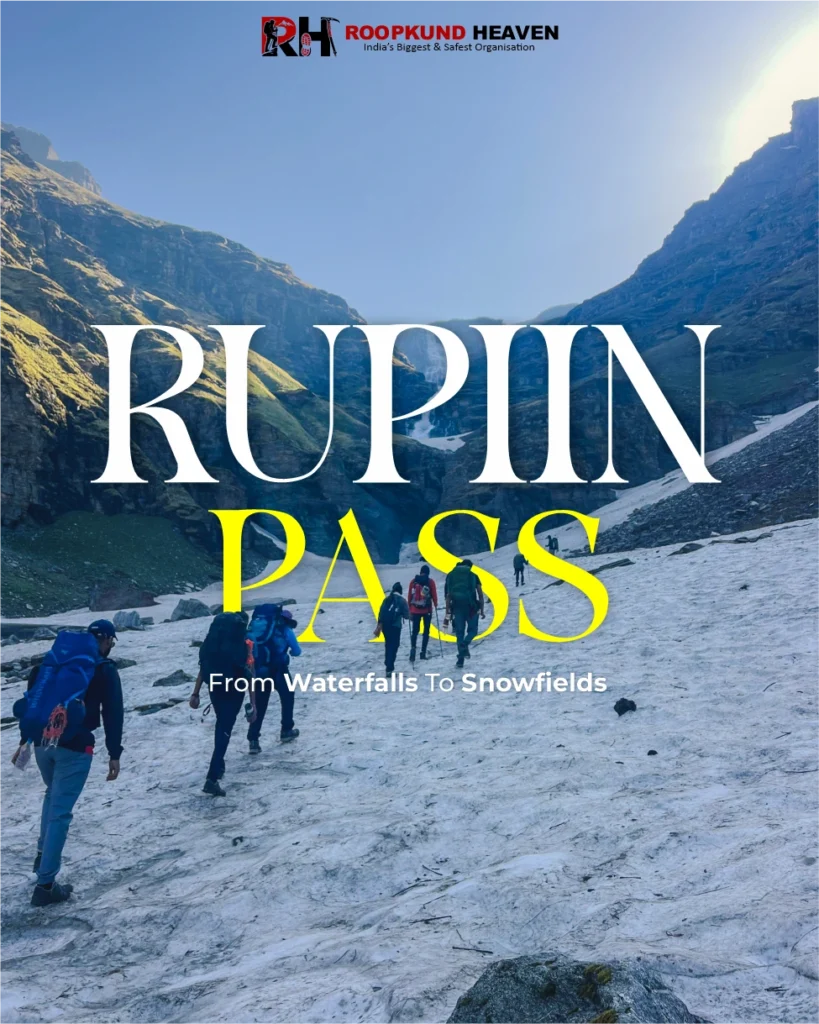
Highlight
Kuari Pass Summit Views: A 360-degree panorama at 12,516 ft with Nanda Devi (7,816 m), Dronagiri, Kamet, Chaukhamba, Trishul, Hathi Ghoda, and Neelkanth all visible simultaneously from the ridge
The Lord Curzon Trail: One of the few Himalayan trekking routes with a documented colonial history; the same ridge route explored by the British Viceroy of India in 1905
Khullara Alpine Meadows: High-altitude bugyal at 11,000 ft with unobstructed views of Dronagiri and Nanda Devi; the campsite where the mountains first come fully into view
Ancient Oak and Rhododendron Forests: The lower trail from Tugasi to Guling passes through protected Garhwali forests that bloom spectacularly in spring
Nanda Devi Views: The closest most people without technical climbing experience will ever get to India’s second-highest mountain, visible from Khullara meadows and dominant from Kuari Pass
Garhwali Village Culture: The trail passes through Tugasi and Guling, traditional mountain communities where the pace of life and the architecture are unchanged from decades ago
Winter Snow Trekking: From December through February, the entire route from Guling onward is blanketed in snow, transforming the forest trails and meadows into a winter landscape
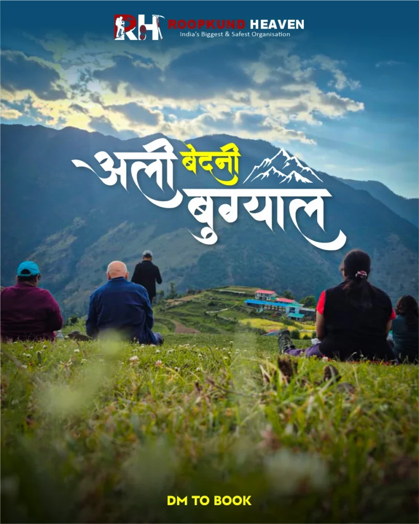
Kuari Pass
Clear trek details, booking dates, inclusions, and rental options.
Before you decide to go on the Kuari Pass Trek, there is something you need to know. The story of one of the oldest trails of India – Lord Curzon Trail aka Kuari Pass Trek.
In 1905, the most powerful man in India stood on a ridge in the Garhwal Himalayas and looked at Nanda Devi. Lord George Curzon, Viceroy of India, could have gone anywhere. He had an empire at his disposal. Expeditions, escorts, resources that no trekker today could dream of. And when he decided he wanted to see the high Himalayas, this is the route he chose. Not a famous pass. Not a celebrated pilgrimage trail. A ridge route above oak and rhododendron forests, climbing through alpine meadows to a pass at 12,516 feet, where the full sweep of the Garhwal Himalayas opens in a single, unbroken panorama.
Why Trekkers Love It
Nanda Devi. Dronagiri. Kamet. Chaukhamba. Trishul. Hathi Ghoda. Neelkanth. All of them at once. All of them close enough to feel real. All of them so large that your peripheral vision cannot contain them.
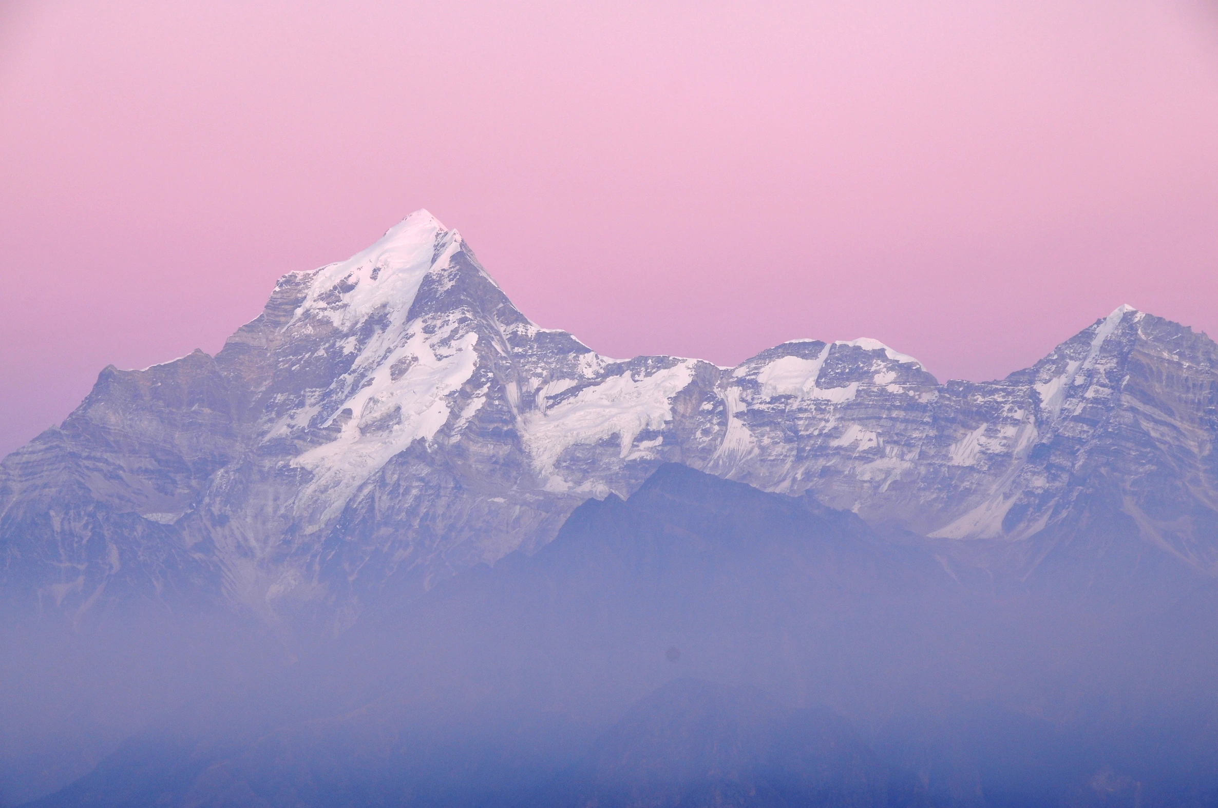
Curzon reportedly stood there for a long time. The trail has been called the Lord Curzon Trail ever since. One hundred and twenty years later, people walk the same ridge for the same reason. Because the view from Kuari Pass is, without qualification, one of the finest mountain panoramas accessible to a trekker without technical climbing experience anywhere in India. And because Nanda Devi, at 7,816 metres the highest peak entirely within India, looks from this pass the way it is supposed to look: not as a distant shape on a horizon, but as a presence. Massive, close, and absolute.
The Kuari Pass Trek is a 6-day, 28-km route in Uttarakhand’s Chamoli district that starts at Rishikesh, drives to Joshimath, climbs through Garhwali villages and ancient forests to the alpine meadows of Guling and Khullara, reaches Kuari Pass on Day 4, and descends via Tugasi back to Joshimath. It is graded easy to moderate, which in practical terms means fit first-time trekkers complete it without difficulty, and experienced trekkers enjoy it without boredom.
What makes the Kuari Pass Trek different from most other beginner-friendly routes in India is not just the altitude or the distance. It is the quality of the view at the top. Most beginner treks give you good views. Some give you great views. Kuari Pass gives you the kind of view that makes experienced trekkers, people who have stood on peaks twice as high and walked routes three times as long, stop walking and say nothing for several minutes.
The route passes through three distinct landscapes that feel almost unrelated to each other. The lower section, Tugasi to Guling, climbs through thick oak and rhododendron forest. Mossy, quiet, with light coming through in shafts and the sound of streams everywhere. In spring, the rhododendrons bloom red against the green, covering entire hillsides in colour visible from a kilometre away.
Above Guling, the forest thins and the first views appear. Dronagiri and Hathi Ghoda through gaps in the trees, then more peaks, then all of them at once as you climb into the meadows above Khullara at 11,000 feet.
And above Khullara, the alpine zone. No trees. Just open ridgelines, sky, and mountains. This is where the Kuari Pass Trek earns its reputation. The trail above Khullara follows the same ridge that Lord Curzon walked in 1905, a high exposed path with the full Nanda Devi massif ahead and the Alaknanda Valley disappearing below.
Day 1 is the drive from Rishikesh to Joshimath, 254 kilometres through the Alaknanda Valley, crossing the Panch Prayag confluences that define the sacred geography of Garhwal.
Day 2 is a short drive from Joshimath to Tugasi and then the trek to Guling, 4 kilometres of climbing through forest to the first campsite at 9,650 feet.
Day 3 continues from Guling to Khullara, 6 kilometres through thinning forest into alpine meadows at 11,000 feet, with the first serious mountain views opening on the climb.
Day 4 is the pass day. Khullara to Kuari Pass, steep and exposed, reaching 12,516 feet before descending back to Khullara for the night.
Day 5 is the long descent from Khullara to Tugasi, 12 kilometres back down through the forest, and then the short drive to Joshimath.
Day 6 is the drive back to Rishikesh.
The trek is easy to moderate, which means: no technical climbing, no glacier crossings, no river crossings requiring ropes. The trails are well-defined and have been walked by shepherds and villagers for centuries. But you gain nearly 5,000 vertical feet from Tugasi to Kuari Pass, you walk 6 to 7 hours on some days, and the summit day involves steep terrain on a narrow, exposed ridge at altitude.
The right person for this trek is someone who wants the Himalayas at their most panoramic without having to be a mountaineer to get there. Someone who wants to walk the same path a British Viceroy chose 120 years ago because the view was that good. Someone who is fit enough to walk for 6 hours a day for four consecutive days and understands that a mountain view earned through effort is a different thing entirely from one seen through a car window.
The total trekking distance is 28 kilometres over 4 days. Daily trekking distances range from 4 km on the shorter days to 12 km on the descent. And from the pass, the view has not changed since 1905. Nanda Devi is still there, still massive, still the undisputed centrepiece of the entire Garhwal skyline.
If you are ready to stand where Lord Curzon stood and see what he saw, there is no reason to wait.
Day wise plan
Follow the legendary Lord Curzon Trail from Joshimath to Kuari Pass while trekking through ancient forests, alpine meadows, scenic campsites, and high Himalayan ridges with continuous views of Nanda Devi and the Garhwal peaks.
The Kuari Pass Trek begins the same way the Valley of Flowers begins: with the Alaknanda Valley road from Rishikesh, and with the Panch Prayag confluences marking your passage deeper into Garhwal.Leave Rishikesh by 6 AM. Devprayag arrives first, where the Alaknanda meets the Bhagirathi and becomes the Ganga. Then Rudraprayag, Karnaprayag, Nandprayag. Four confluences in a single drive, four rivers joining one, the sacred geography of Garhwal laid out along the road like a map drawn in water.
After Chamoli, the valley narrows. The Alaknanda accelerates. The road becomes mountain road, narrower and slower. Joshimath appears by late afternoon on a wide shelf above the valley, its houses stacked on the slope and its streets quieter than its size suggests.
Joshimath sits at 6,150 feet, the gateway to the Nanda Devi Biosphere Reserve, the Kuari Pass Trek, the Valley of Flowers, and the high-altitude pilgrimage routes to Badrinath. It is a proper Himalayan town, with hotels, restaurants, a market, and enough altitude to feel like the mountains have already started.
Tip: Withdraw cash in Rishikesh or Joshimath. There are no ATMs beyond Joshimath. Mobile network works in Joshimath but becomes unreliable after Tugasi. Download offline maps before leaving.
The morning drive from Joshimath to Tugasi takes about 45 minutes, winding down from Joshimath’s ridge and along a mountain road to the small village of Tugasi at 7,545 feet. The road ends here. The trail begins.Tugasi is a traditional Garhwali village, stone houses, terraced fields, a small temple, and the kind of unhurried pace that high-mountain communities maintain regardless of how many trekkers pass through. From here, the Kuari Pass trail begins in earnest.
The trail climbs steadily through thick forest from the first step. Oak, rhododendron, deodar, the canopy dense enough that the temperature drops noticeably within 10 minutes of leaving the village. The gradient is moderate, manageable, the kind of climb you can sustain for hours without breaking down. In spring, rhododendron trees in full red bloom line both sides of the trail, covering the hillside in colour that you do not expect at 8,000 feet.
The forest opens occasionally into small clearings where views of the Alaknanda Valley appear far below, and on clear days, the first glimpses of distant peaks. The sound of streams cuts across the trail at regular intervals. Small birdsong fills the gaps between footsteps.
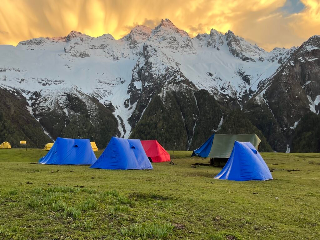
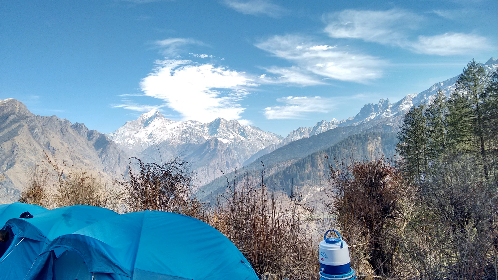
After 4 kilometres and roughly 5 hours of climbing, Guling camp arrives. A clearing at 9,650 feet surrounded by forest, with serene meadows and the first serious views of snow-capped peaks opening to the north. Tents are set up on flat ground. The silence beyond camp is complete.
This is the day the trek stops being a forest walk and becomes a Himalayan ridge experience. The trail out of Guling continues upward through forest, but the character changes within the first hour. The trees thin. The canopy opens. Light arrives not in shafts now but in sheets, the sky widening overhead as the altitude rises. Then, after about 2 hours of climbing, the treeline ends completely.
And the mountains appear. Not a peak through a gap. Not a distant shape on the horizon. Dronagiri and Hathi Ghoda rise directly ahead, their entire ridgelines and upper slopes fully visible. And above them, just visible, the first suggestion of the Nanda Devi massif.
The trail crosses open meadow for the next 3 kilometres, climbing gently through grass and rocks to Khullara at 11,014 feet. The campsite sits on a wide alpine meadow, one of the highest bugyals on this route, with a view that trekkers consistently describe as the moment they understood why Curzon walked this trail. To the north, Dronagiri and Hathi Ghoda dominate. To the northwest, Nanda Devi is visible, partially obscured by the ridge you will cross tomorrow but unmistakably present, that specific combination of scale and proximity that no photograph quite captures. The meadows around camp extend to every horizon. There are no trees. No buildings. Nothing between you and the peaks except grass, sky, and altitude. Nights at Khullara are cold. 0°C to -5°C even in autumn. In winter, well below that. Eat early, layer up, and sleep early. Tomorrow starts before dawn.
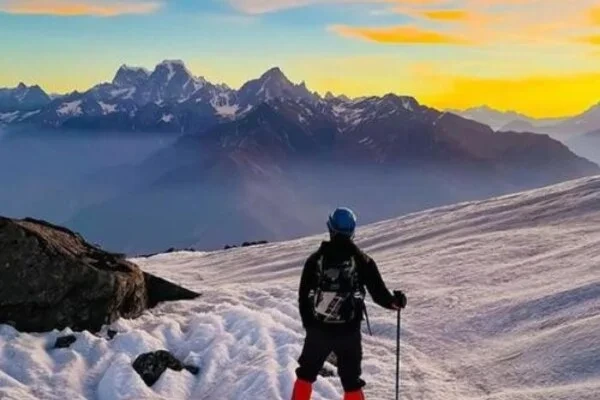
This is the day Curzon came for. This is the day you came for. Leave Khullara early, ideally by 5 to 6 AM. The trail climbs steeply from the meadow onto the ridge above camp. In winter, this section is snow-covered from the first step, and microspikes are essential. In summer and autumn, it is rocky and open, with views expanding with every metre of altitude gained.
After an hour of steep climbing, you reach a ridge at around 12,000 feet. And here, for the first time, both sides of the pass are visible simultaneously. Behind you, the Alaknanda Valley and the lower ridges of Garhwal. Ahead, higher ridges and distant snowfields. And on every side, peaks.
The trail follows the ridge from here to Kuari Pass, a walk of about 45 minutes on an exposed, narrow path with sheer drops on both sides in places. Walk steadily. Do not rush. The gradient eases once you are on the ridge proper, and the views keep getting better with every step.
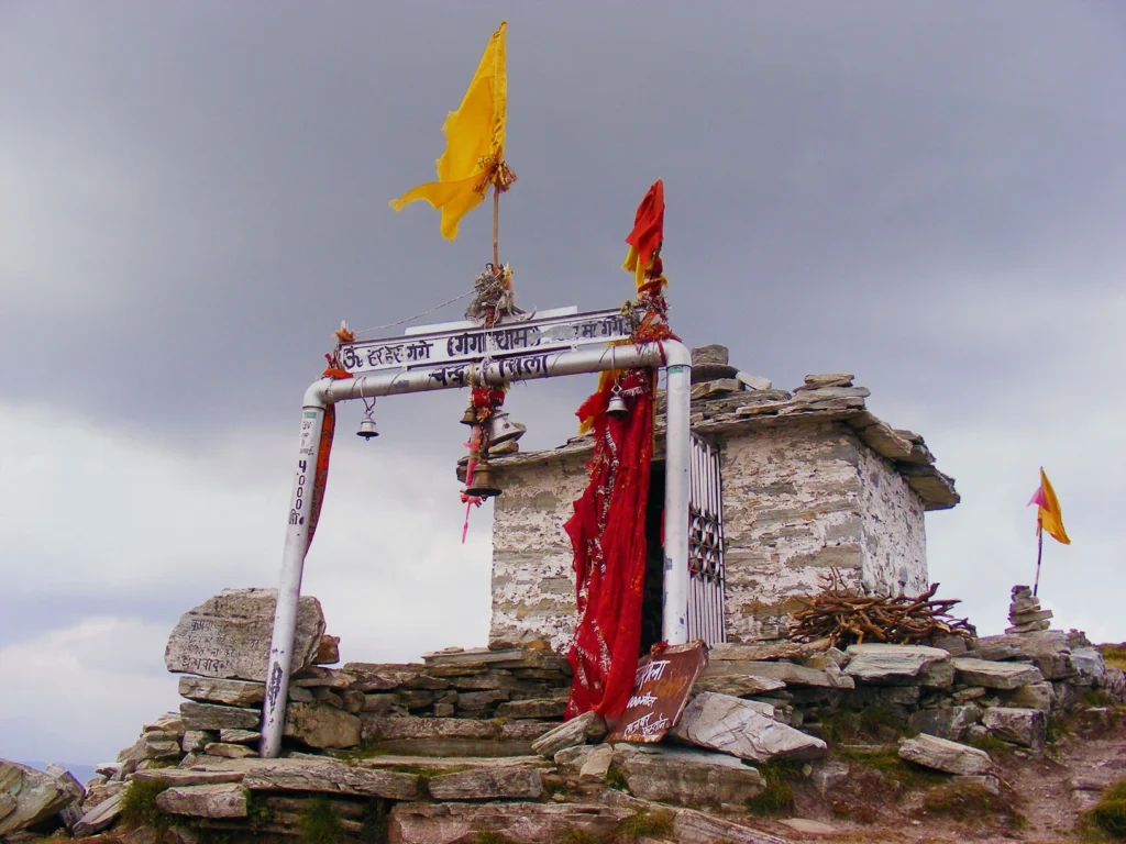
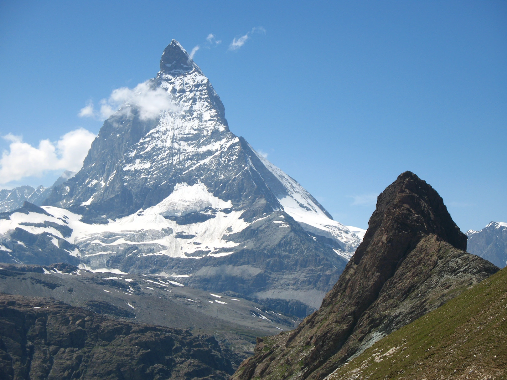
Kuari Pass at 12,516 feet is a broad saddle marked with prayer flags. And the view from there is everything the trail promised and more. Nanda Devi fills the northern skyline. Not a distant mountain. A wall of snow and rock at 7,816 metres, rising so high it bends the sky around it. To its left, Dronagiri. To its right, the Kamet massif. Sweeping east, Chaukhamba’s four summits. West, Trishul’s three sharp peaks and Neelkanth’s pyramid outline. And far below, the valley you drove through yesterday, reduced to a thin green thread between ridges.
Lord Curzon stood here 120 years ago and saw what you will see. The mountains have not moved. The view has not changed. The same peaks, the same scale, the same silence. Stay as long as you can. Then descend. The return to Khullara takes 3 to 4 hours on the same trail. Arrive by mid-afternoon. Rest. The hardest day is behind you.
The descent from Khullara to Tugasi retraces the route from Days 2 and 3, but all downhill now. The meadows of Khullara give way to the thinning forest above Guling. Guling gives way to the dense rhododendron and oak below. The trail drops 3,500 vertical feet over 12 kilometres, which is pleasant on lungs and relentless on knees. Use your trekking poles. Plant your heels. The descent takes 5 to 6 hours, arriving at Tugasi by early afternoon. From Tugasi, the short drive back to Joshimath takes 45 minutes.
Check into your hotel. Shower properly. Eat a meal that is not camp food. The trek is essentially over. Tomorrow is the long drive home.
The final day reverses the Day 1 drive. Joshimath to Karnaprayag, Rudraprayag, Devprayag, and into Rishikesh by evening. Arrive in Rishikesh between 5 PM and 7 PM depending on traffic. Book your onward travel accordingly with at least a 2-hour buffer for road delays.
The Kuari Pass Trek is over. But the view of Nanda Devi from 12,516 feet, that specific quality of closeness and scale and silence, stays longer than you expect. It stayed with Curzon long enough that he named a trail after it. It will stay with you too.
Inclusion & exclusion
This section includes complete details about accommodation, meals, permits, transportation, camping equipment, trek leadership, and support services included in the Kuari Pass Trek package, along with personal expenses and services that are not covered in the overall trek cost.
Inclusions
Exclusions
- Bag Offloading Charges: ₹1,400 per bag
- Maximum Weight Limit: Each offloaded bag should not exceed 10 kg
Best Time to Visit Kuari Pass Trek
Unlike most Himalayan treks that operate in a single narrow window, the Kuari Pass Trek is accessible across three distinct seasons, and each one gives you a fundamentally different experience of the same route.
April to June: Spring and Early Summer
This is the best time for colour, wildflowers, and comfortable trekking temperatures.
The snow melts from the lower forest sections by April, leaving the rhododendron forests in full bloom. Entire hillsides between Tugasi and Guling turn red and pink with rhododendron flowers, a display that lasts through May. The meadows at Khullara are green and alive with early-season wildflowers. Snow remains on the upper sections near the pass, giving you a combination of green forest, blooming flowers, and snowfields in a single day.
Daytime temperature at Joshimath: 12°C – 20°C
Daytime temperature at Khullara: 8°C – 15°C
Night temperature at Khullara: 0°C – 5°C
Snow coverage: Upper sections near pass, minimal on lower trails
Crowds: Moderate
September to November: Post-Monsoon and Autumn
This is the best season for mountain views and photography. The monsoon clears by mid-September. Skies open completely. Visibility from Kuari Pass is at its sharpest of the entire year. Nanda Devi, Dronagiri, Chaukhamba, all of them stand in absolute clarity against deep blue skies. The meadows at Khullara turn gold in October. The forests go amber. The air is dry and cold.
October is widely considered the single best month for the Kuari Pass Trek. Clear skies, no crowds, exceptional visibility, comfortable trekking temperatures, and the autumn colours of the Garhwal forest at their peak.
Daytime temperature at Joshimath: 10°C – 18°C
Daytime temperature at Khullara: 5°C – 12°C
Night temperature at Khullara: -2°C – 3°C
Snow coverage: None below pass, occasional patches at summit
Crowds: Low to moderate in September, very low in October-November
December to February: Winter Snow Season
This is the most dramatic version of the trek. From December through February, the entire route from Guling onward is blanketed in snow. The rhododendron forest is white and silent. Khullara meadows are buried under 2 to 3 feet. The ridge to Kuari Pass requires microspikes and careful footing. Night temperatures at Khullara drop to -10°C or below.
But the views in clear winter weather are extraordinary. Nanda Devi against a deep blue winter sky, with fresh snow covering every surface, is a different order of beauty from the same view in any other season.
Daytime temperature at Khullara: -2°C – 5°C
Night temperature at Khullara: -8°C – -12°C
Snow coverage: Heavy throughout from Guling onward
Microspikes: Essential
Crowds: Low
July to August: Monsoon (Not Recommended)
Heavy rainfall, slippery trails, leeches in the forest sections, and poor visibility due to clouds. Not recommended for most trekkers.
Things to Carry
Pack for two realities: 18°C sunshine in the meadows at midday and -5°C frost at Khullara after sunset. The gap between them is 4 hours of trekking. Keep your pack under 10 kg.
Clothing
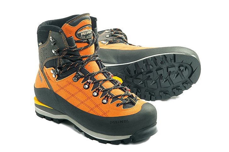
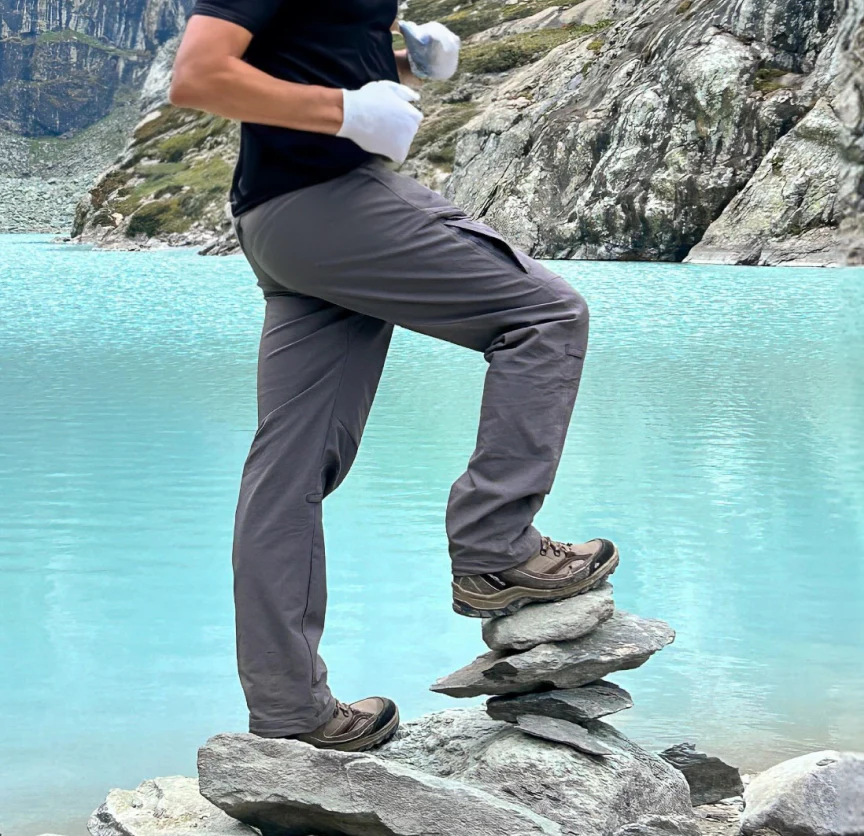
Footwear
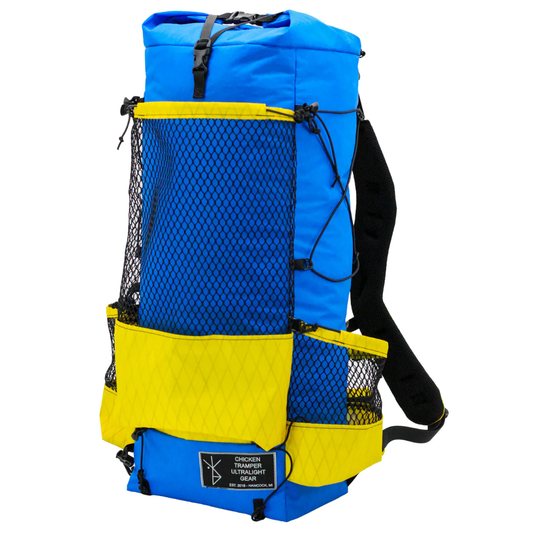
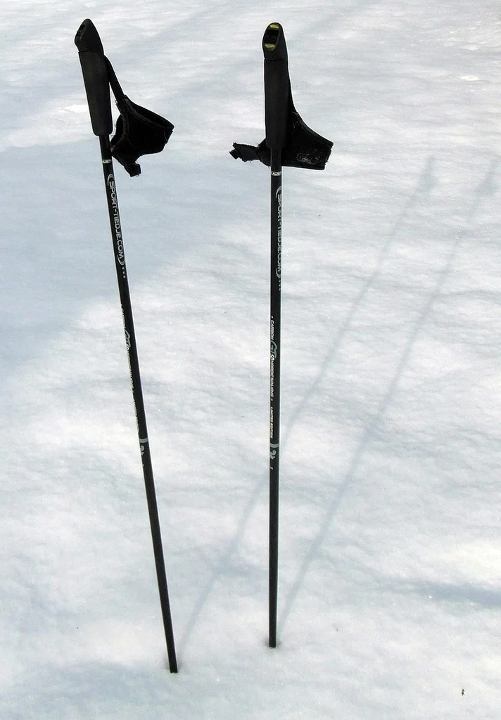
Equipment
Health & Hygiene
Documents & Finance
How to Reach Kuari Pass Trek Base Camp
The Kuari Pass Trek starts from Tugasi village, 14 km from Joshimath. Rishikesh is the main transit hub.
Reach Dehradun
By Air: The nearest airport is Jolly Grant Airport in Dehradun, 21 km from Rishikesh. From the airport, take a taxi or pre-paid cab to Rishikesh (45 minutes).
By Train: Rishikesh Railway Station and Haridwar Junction (24 km from Rishikesh) are well-connected to Delhi, Mumbai, Kolkata, and other major cities.
By Road: Direct UPSRTC and private Volvo buses connect Rishikesh to Delhi (240 km, 6-7 hours), Dehradun (45 km, 1.5 hours), and Haridwar (24 km, 1 hour).
Policy
| Policy Point | Details |
|---|---|
| Booking Confirmation | Your seat is considered confirmed only after the required advance payment is received. |
| Balance Payment | The remaining amount must be cleared before departure or as per the reporting instructions shared by the team. |
| Transport Selection | Pickup from Dehradun is applicable only if that option is selected at the time of booking. |
| ID Requirement | Every participant should carry a valid government photo ID for verification and trek administration. |
| Operational Changes | In case of weather, road, or safety concerns, the itinerary may be adjusted for the well-being of the group. |
| Cancellation Window | Charge / Refund |
|---|---|
| More than 30 days before departure | Minimal processing deduction may apply; remaining amount can be refunded or adjusted as per booking terms. |
| 15 to 30 days before departure | Partial cancellation charge applicable; remaining balance may be refunded or transferred to a future batch if approved. |
| 7 to 14 days before departure | Higher cancellation charge applies because transport, permits, and staffing arrangements are usually already blocked. |
| Less than 7 days before departure | Booking is generally non-refundable due to final operational commitments. |
| No show / Trek departure missed | No refund is usually applicable once reporting is missed without prior written coordination. |
FAQ's
Rental gear for this trek